Landmark
Relief Map of the Philippine Islands
Certains liens de réservation sont des liens affiliés. Si vous réservez via ces liens, nous pouvons percevoir une petite commission sans frais supplémentaires pour vous. Cela n'influence jamais nos recommandations.
The Relief Map of the Philippine Islands is a prominent landmark within Rizal Park (Luneta Park) in Manila. This giant concrete map depicts the archipelago's topography, including mountains, rivers, and major islands, in raised relief. Visitors can walk around the map and view the country's geography from above, often from a raised platform or walkway. The map is color-coded to indicate elevation and water bodies, making it an educational tool for understanding the Philippines' physical landscape. It is surrounded by well-maintained gardens and pathways, and is a popular spot for school field trips, tourists, and locals. The map is illuminated at night, creating a striking visual. Its location in the historic park adds to the experience, as visitors can combine a visit with other park attractions like the Rizal Monument and Chinese Garden.
À ne pas manquer
- View the entire Philippine archipelago from the observation platform
- Identify major mountain ranges like the Cordillera Central and Sierra Madre
- Trace the outlines of large islands such as Luzon, Visayas, and Mindanao
- See the map illuminated at night for a different perspective
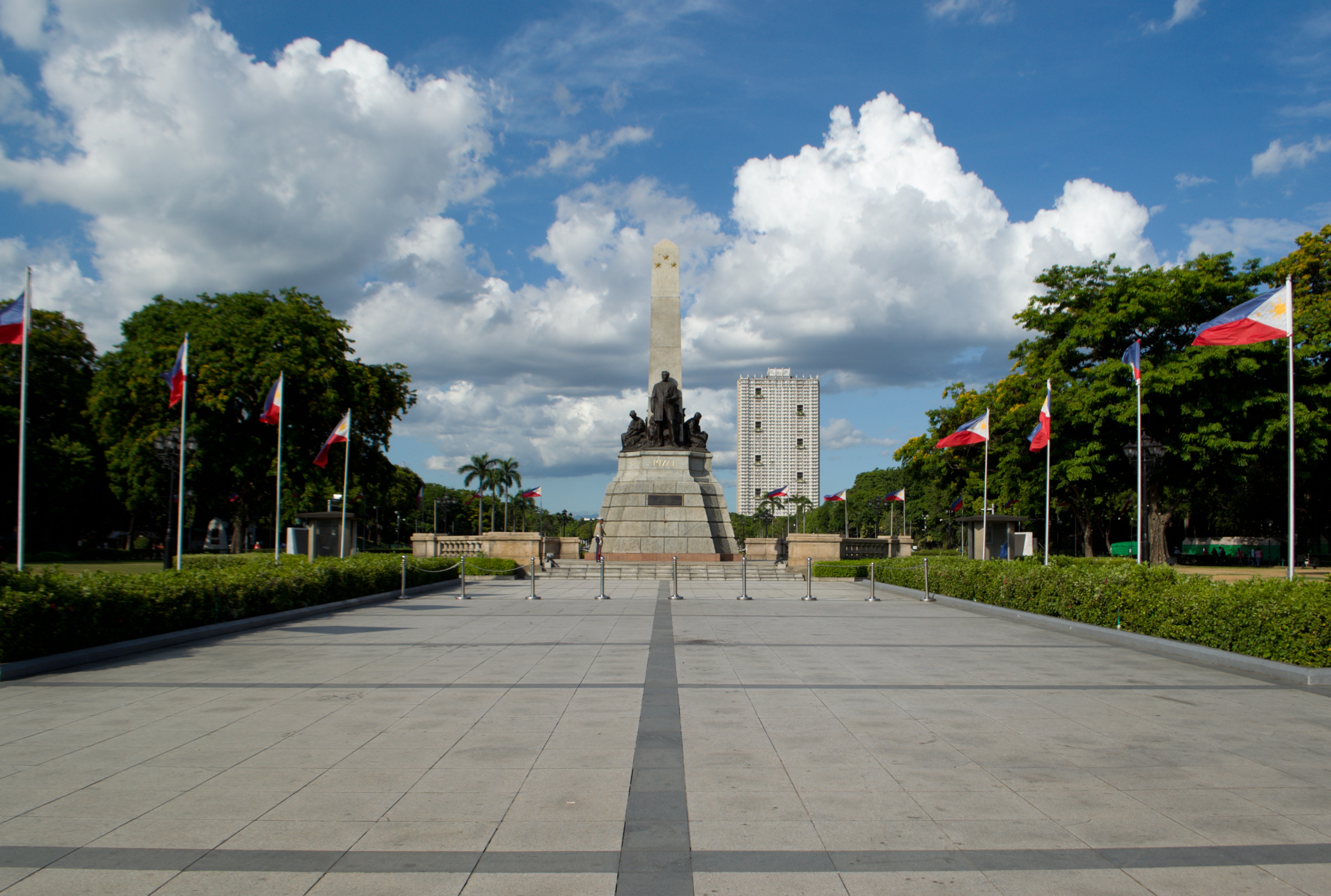
- Combine with a visit to the nearby Rizal Monument and other park attractions
Billets et visites
Différentes façons de visiter Relief Map of the Philippine Islands
Pas besoin de visite guidée, l'entrée est gratuite. Une visite vaut le coup si vous voulez un transport, un guide, ou combiner Relief Map of the Philippine Islands avec d'autres sites en une journée. C'est ce qu'elles font bien.
 Le moins cherExplore Intramuros: Introduction to Philippine History4.9★ · 88 voyageurs~3 heuresAnnulation gratuiteDès$47 par personneVoir les dates →
 Le plus réservéManila Food Tour: Introduction to Philippine Street Food5★ · 504 voyageurs~3 heuresAnnulation gratuiteDès$51 par personneVoir les dates →
 Privé et flexibleA private Historical Intramuros & highlights in Manila4.9★ · 19 voyageurs~8 heuresDès$168 par personneVoir les dates →
Idéal pour
Comment les voyageurs le notent
Comment s'y rendre
Bon à savoir avant de partir
- Bring a hat and water as the park can be hot and sunny.
- The map is a great photo opportunity; visit during golden hour for best light.
- Public restrooms are available within Rizal Park.
- The park is open daily; the map is accessible during park hours.
Un peu d'histoire
The relief map was constructed in the mid-20th century as part of the development of Rizal Park. It was designed to showcase the geography of the Philippines and has since become an iconic feature of the park.
Questions fréquentes
Is there an entrance fee for Rizal Park?
No, Rizal Park is free to enter.
Can I walk on the relief map?
No, visitors are not allowed to step on the map; viewing is from the surrounding walkways.
How big is the map?
It is a large-scale map covering a significant area of the park; exact dimensions are not published.
Is the map accurate?
It is a stylized representation of the country's topography, not to exact scale.
Are there guided tours?
No official guided tours for the map, but park information may be available at the visitor center.
What else is nearby?
The map is within Rizal Park, which also houses the Rizal Monument, Chinese Garden, and a planetarium.
Plus d'attractions à Manila