Landmark
Relief Map of the Philippine Islands
部分预订链接为联盟链接。通过它们预订,我们可能获得小额佣金,但不会增加你的费用。我们绝不会因此影响推荐。
The Relief Map of the Philippine Islands is a prominent landmark within Rizal Park (Luneta Park) in Manila. This giant concrete map depicts the archipelago's topography, including mountains, rivers, and major islands, in raised relief. Visitors can walk around the map and view the country's geography from above, often from a raised platform or walkway. The map is color-coded to indicate elevation and water bodies, making it an educational tool for understanding the Philippines' physical landscape. It is surrounded by well-maintained gardens and pathways, and is a popular spot for school field trips, tourists, and locals. The map is illuminated at night, creating a striking visual. Its location in the historic park adds to the experience, as visitors can combine a visit with other park attractions like the Rizal Monument and Chinese Garden.
不容错过
- View the entire Philippine archipelago from the observation platform
- Identify major mountain ranges like the Cordillera Central and Sierra Madre
- Trace the outlines of large islands such as Luzon, Visayas, and Mindanao
- See the map illuminated at night for a different perspective
- Combine with a visit to the nearby Rizal Monument and other park attractions
门票与行程
游览Relief Map of the Philippine Islands的方式
游览此景点无需门票,免费进入。如果你需要交通、导游,或想一天内结合Relief Map of the Philippine Islands和附近景点,参加行程是值得的。
 最省钱Explore Intramuros: Introduction to Philippine History4.9★ · 88位游客约3小时免费取消起价$47 每人查看日期 →
 最受欢迎Manila Food Tour: Introduction to Philippine Street Food5★ · 504位游客约3小时免费取消起价$51 每人查看日期 →
 私享灵活A private Historical Intramuros & highlights in Manila4.9★ · 19位游客约8小时起价$168 每人查看日期 →
适合
旅行者评分
如何到达
行前须知
- Bring a hat and water as the park can be hot and sunny.
- The map is a great photo opportunity; visit during golden hour for best light.
- Public restrooms are available within Rizal Park.
- The park is open daily; the map is accessible during park hours.
历史背景
The relief map was constructed in the mid-20th century as part of the development of Rizal Park. It was designed to showcase the geography of the Philippines and has since become an iconic feature of the park.
常见问题
Is there an entrance fee for Rizal Park?
No, Rizal Park is free to enter.
Can I walk on the relief map?
No, visitors are not allowed to step on the map; viewing is from the surrounding walkways.
How big is the map?
It is a large-scale map covering a significant area of the park; exact dimensions are not published.
Is the map accurate?
It is a stylized representation of the country's topography, not to exact scale.
Are there guided tours?
No official guided tours for the map, but park information may be available at the visitor center.
What else is nearby?
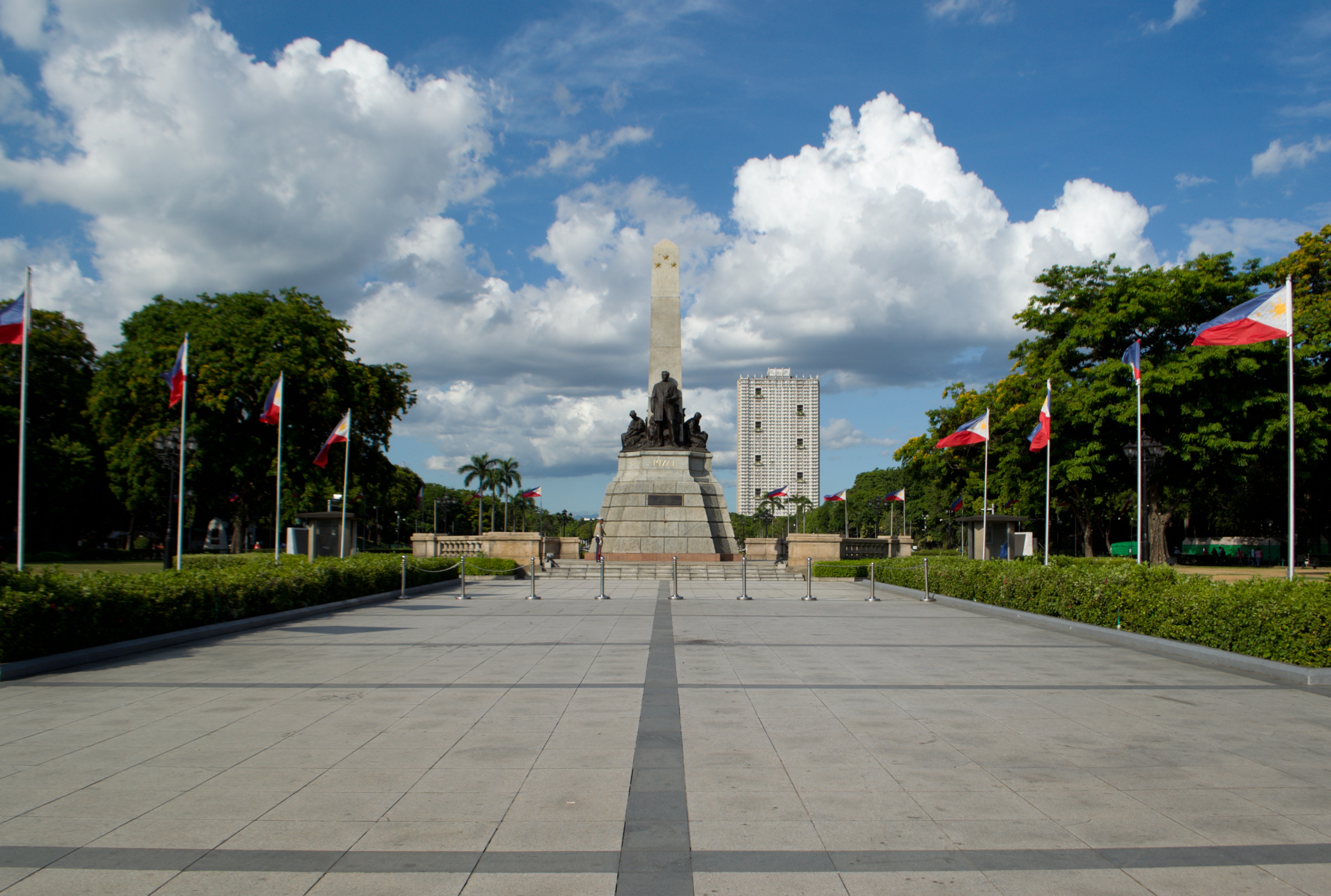
The map is within Rizal Park, which also houses the Rizal Monument, Chinese Garden, and a planetarium.
Manila更多景点