Park & nature
Lan Hạ Bay
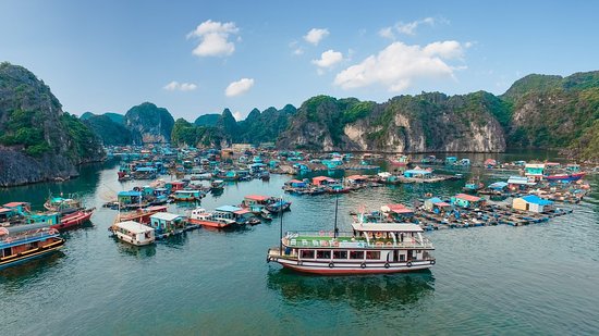 Photo via TripAdvisor (halongarcadydaycuise)
Some booking links are affiliate links. If you book through them, we may earn a small commission at no extra cost to you. We never let this influence which places we recommend.
Lan Hạ Bay is a crescent-shaped bay in the Gulf of Tonkin, east of Cát Bà Island and adjacent to Hạ Long Bay. It covers more than 7,000 hectares and contains about 400 islands and islets, many densely vegetated. The bay forms part of the Cát Bà Archipelago and its UNESCO biosphere reserve.
Don't miss
- A landscape of roughly 400 islands and islets, many covered in dense vegetation
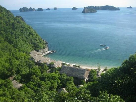
- About 139 small sandy beaches scattered across the bay
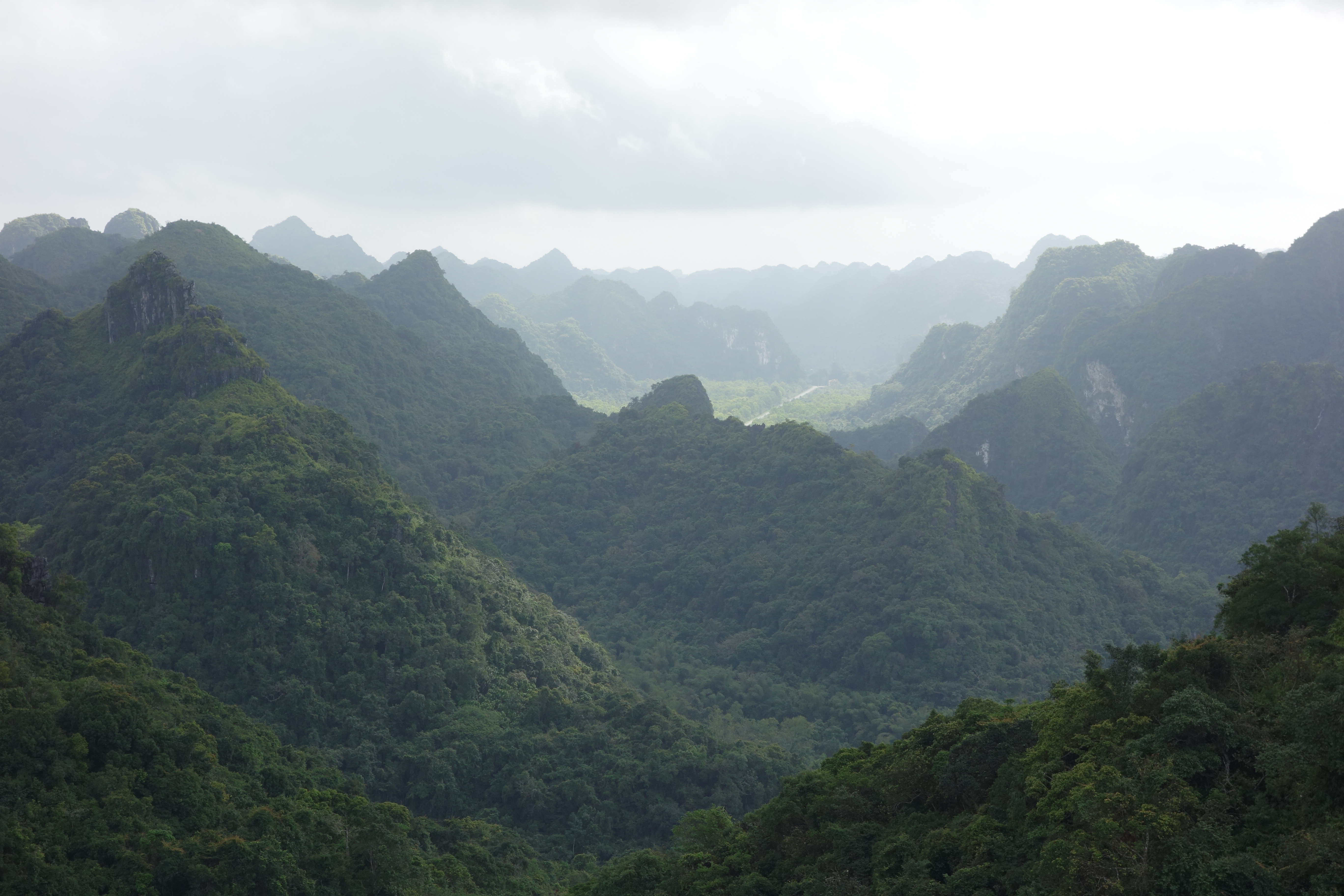
- Limestone karst formations across the archipelago
- Its connection to Cát Bà National Park and the UNESCO biosphere reserve
Tickets & tours
Ways to visit Lan Hạ Bay
You can explore Lan Hạ Bay at your own pace. A tour is worth it mainly for transport, or for pairing it with nearby sights in one day.
 Cheapest way inCat Ba – Monkey Island – Lan Ha, Ha Long Bay – Viet Hai Village4.9★ · 148 travelers8-9 hoursFree cancellationFrom$22 per personSee dates →
 Best full dayLan Ha - Ha Long Bay - Dau Be island 2D/1N from Cat Ba in less touristy areas.5★ · 3,789 travelers~48 hoursFree cancellationFrom$168 per personSee dates →
 Top ratedFull day trip to Lan Ha-Ha Long Bay from Cat Ba, avoid the crowds5★ · 3,650 travelers~9 hoursFree cancellationFrom$41 per personSee dates →
Getting there
Know before you go
- Lan Hạ Bay lies east of Cát Bà Island and beside Hạ Long Bay in the Gulf of Tonkin.
- The bay includes densely vegetated islands and islets within the Cát Bà Archipelago.
- More than 5,400 hectares of the bay fall under Cát Bà National Park management.
Common questions
Where is Lan Hạ Bay?
It lies in the Gulf of Tonkin, east of Cát Bà Island and adjacent to Hạ Long Bay.
How large is the bay?
It covers more than 7,000 hectares and includes about 400 islands and islets.
Are there beaches in Lan Hạ Bay?
The sources describe 139 small sandy beaches within the bay.
Why is the bay environmentally significant?
It is part of the Cát Bà Archipelago and UNESCO biosphere reserve, with more than 5,400 hectares managed under Cát Bà National Park.
More attractions in Cat Ba