Landmark
Relief Map of the Philippine Islands
Some booking links are affiliate links. If you book through them, we may earn a small commission at no extra cost to you. We never let this influence which places we recommend.
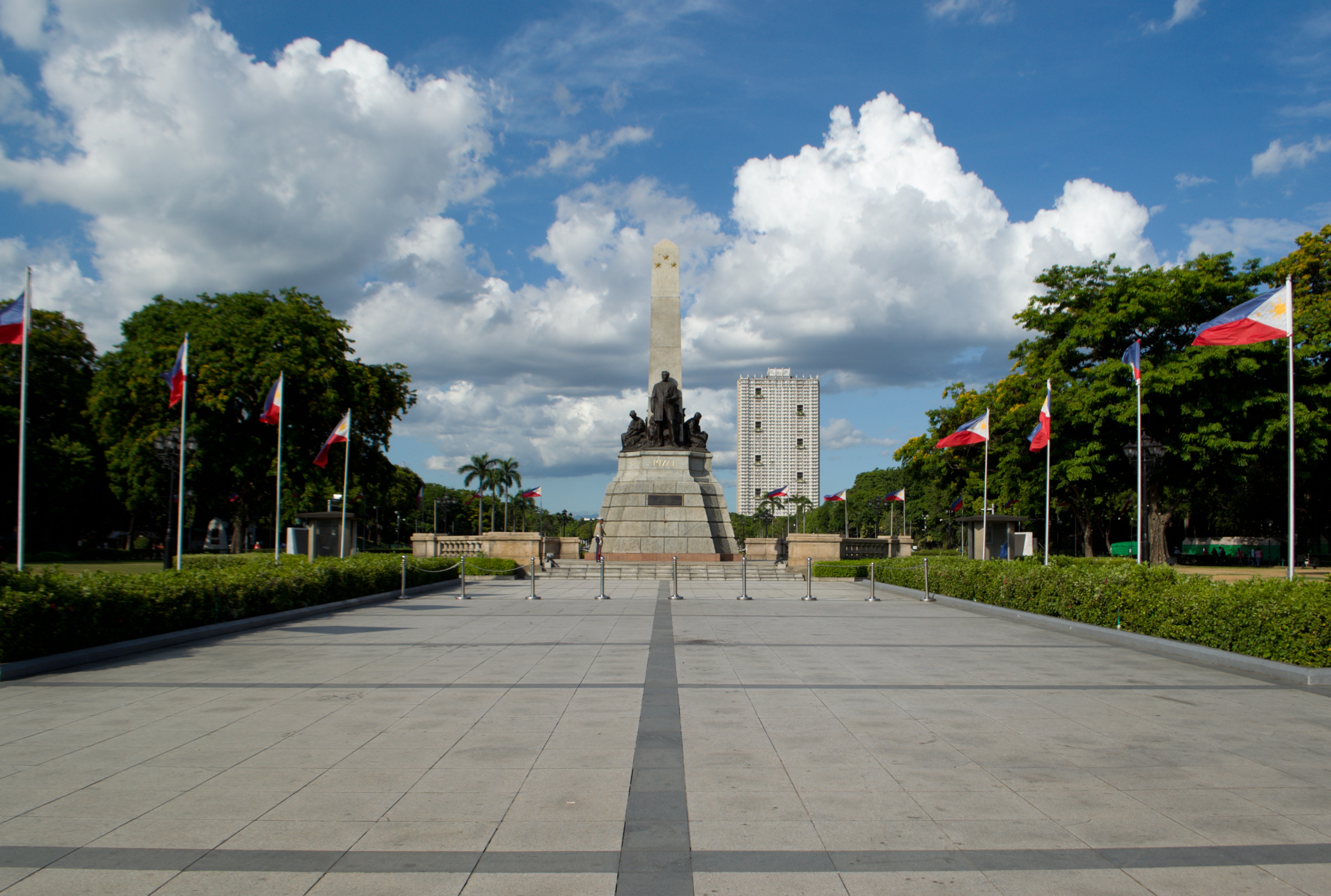
The Relief Map of the Philippine Islands is a prominent landmark within Rizal Park (Luneta Park) in Manila. This giant concrete map depicts the archipelago's topography, including mountains, rivers, and major islands, in raised relief. Visitors can walk around the map and view the country's geography from above, often from a raised platform or walkway. The map is color-coded to indicate elevation and water bodies, making it an educational tool for understanding the Philippines' physical landscape. It is surrounded by well-maintained gardens and pathways, and is a popular spot for school field trips, tourists, and locals. The map is illuminated at night, creating a striking visual. Its location in the historic park adds to the experience, as visitors can combine a visit with other park attractions like the Rizal Monument and Chinese Garden.
Don't miss
- View the entire Philippine archipelago from the observation platform
- Identify major mountain ranges like the Cordillera Central and Sierra Madre
- Trace the outlines of large islands such as Luzon, Visayas, and Mindanao
- See the map illuminated at night for a different perspective
- Combine with a visit to the nearby Rizal Monument and other park attractions
Tickets & tours
Ways to visit Relief Map of the Philippine Islands
You don't need a tour to visit — entry is free. A tour is worth it if you want transport, a guide, or to combine Relief Map of the Philippine Islands with nearby sights in one day. That's what these do well.
 Cheapest way inManila: MNL Airport Private Transfer to/from Manila City Center4.4★ · 145 travelers~1 hourFree cancellationFrom$15 per personSee dates →
 Most bookedManila Food Tour: Introduction to Philippine Street Food5★ · 496 travelers~3 hoursFree cancellationFrom$51 per personSee dates →
 Private & flexibleIntramuros Walking Tour: Explore the Manila's Walled City|Private5★ · 11 travelers~4 hoursFree cancellationFrom$38 per personSee dates →
Good for
How travelers rate it
Know before you go
- Bring a hat and water as the park can be hot and sunny.
- The map is a great photo opportunity; visit during golden hour for best light.
- Public restrooms are available within Rizal Park.
- The park is open daily; the map is accessible during park hours.
A bit of history
The relief map was constructed in the mid-20th century as part of the development of Rizal Park. It was designed to showcase the geography of the Philippines and has since become an iconic feature of the park.
Common questions
Is there an entrance fee for Rizal Park?
No, Rizal Park is free to enter.
Can I walk on the relief map?
No, visitors are not allowed to step on the map; viewing is from the surrounding walkways.
How big is the map?
It is a large-scale map covering a significant area of the park; exact dimensions are not published.
Is the map accurate?
It is a stylized representation of the country's topography, not to exact scale.
Are there guided tours?
No official guided tours for the map, but park information may be available at the visitor center.
What else is nearby?
The map is within Rizal Park, which also houses the Rizal Monument, Chinese Garden, and a planetarium.
More attractions in Manila